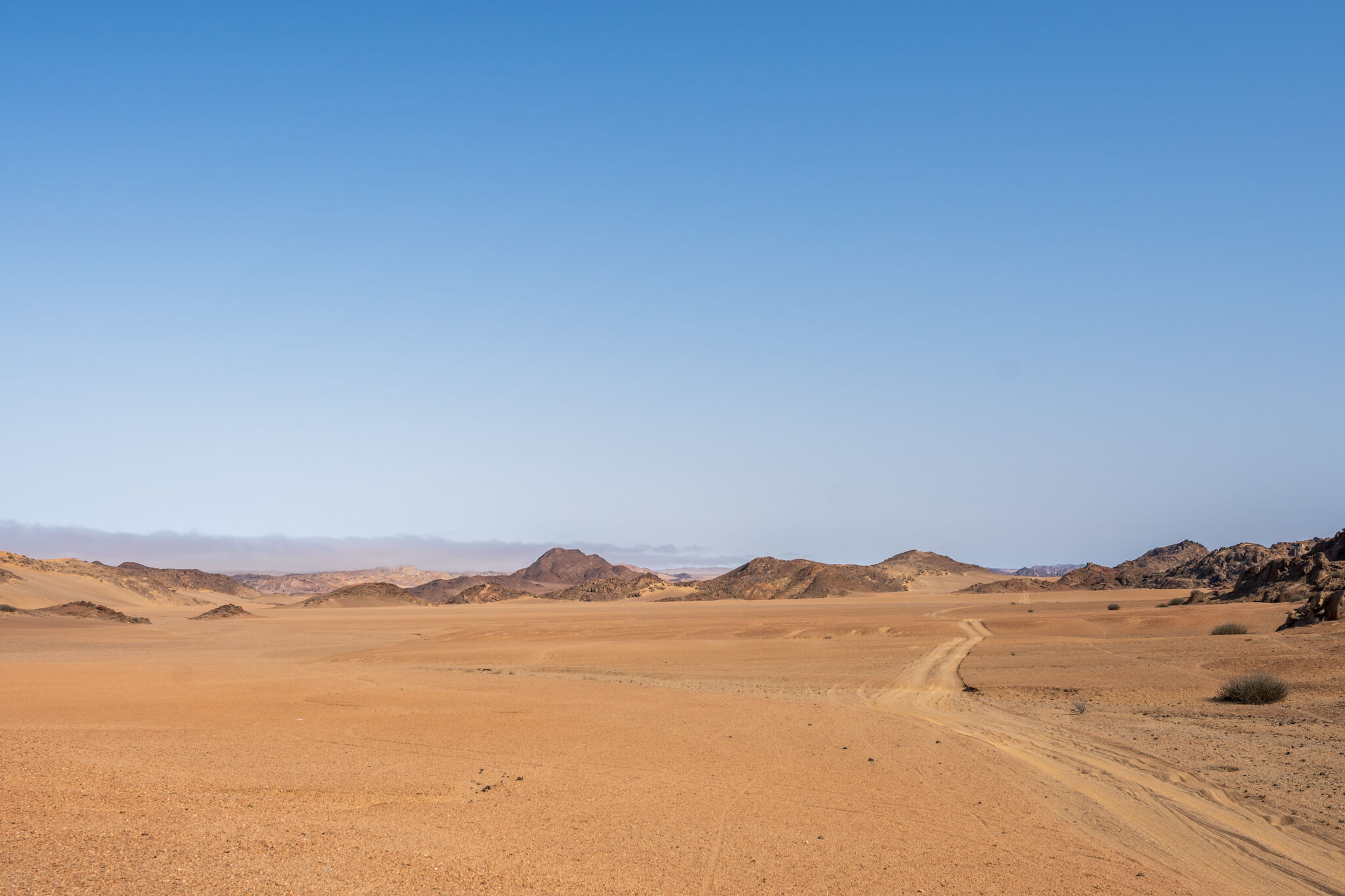
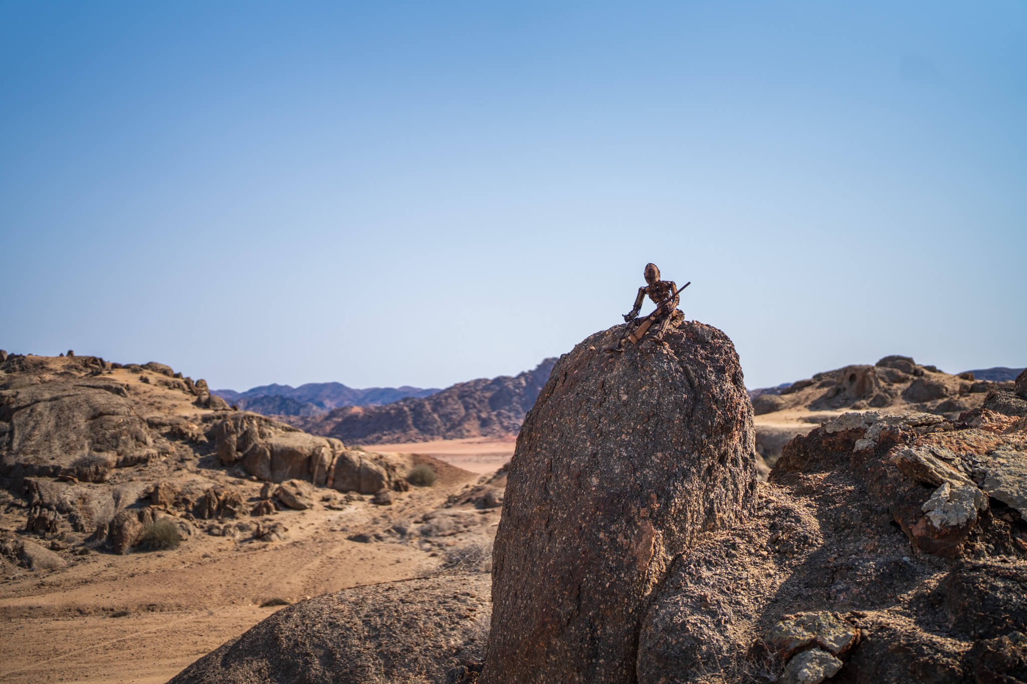
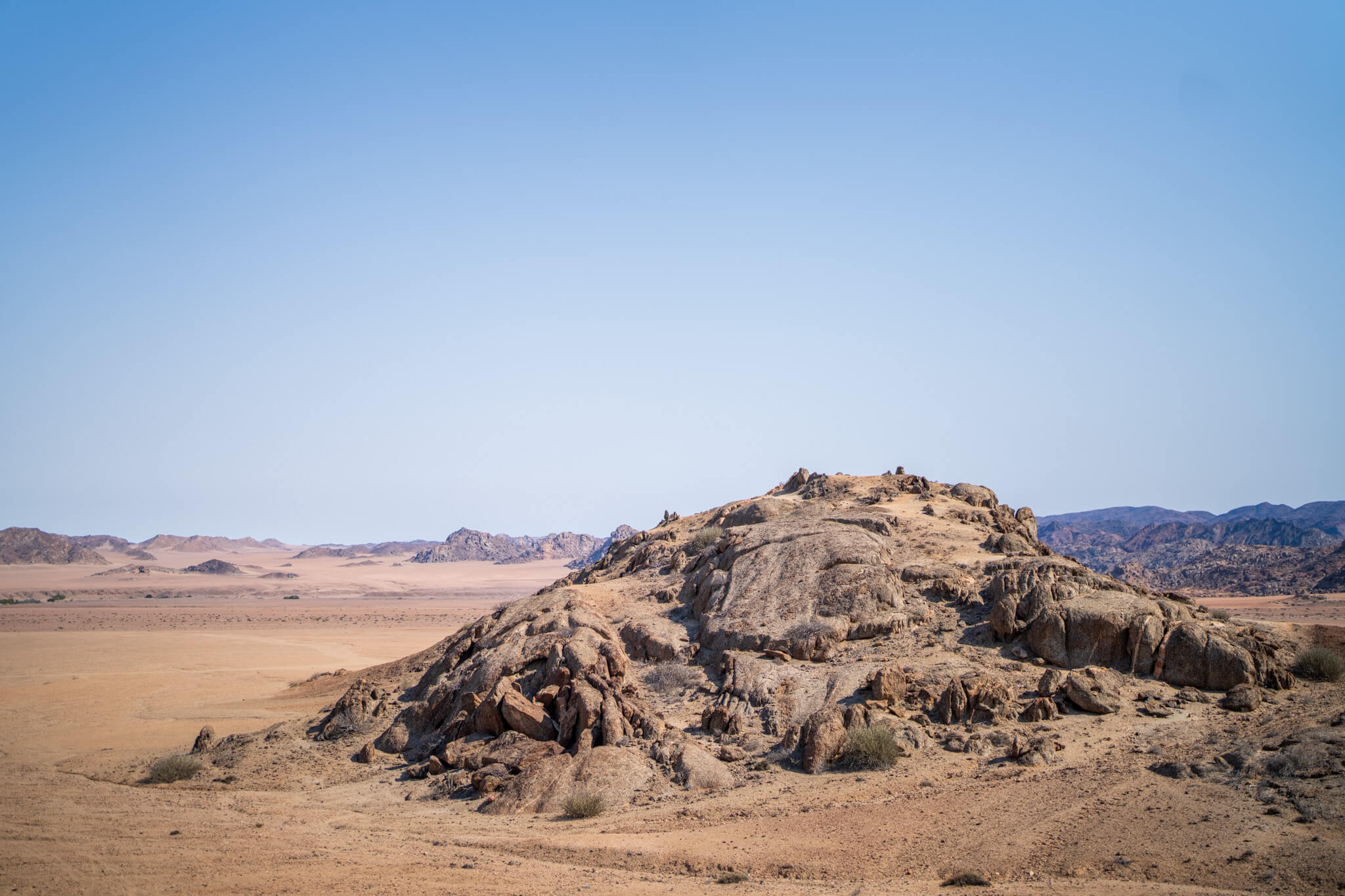
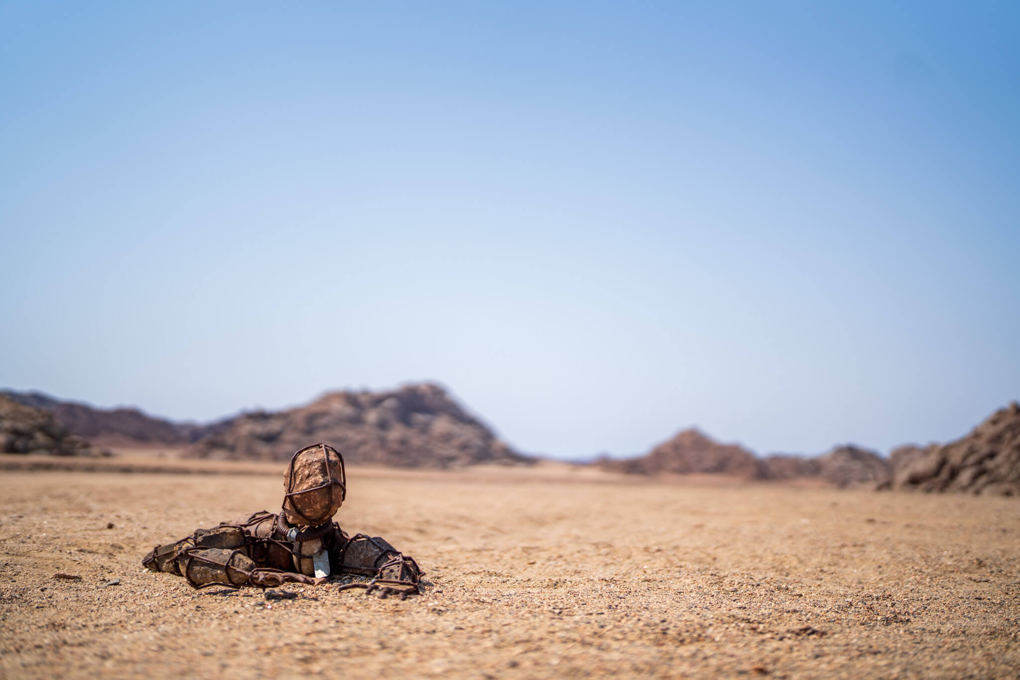
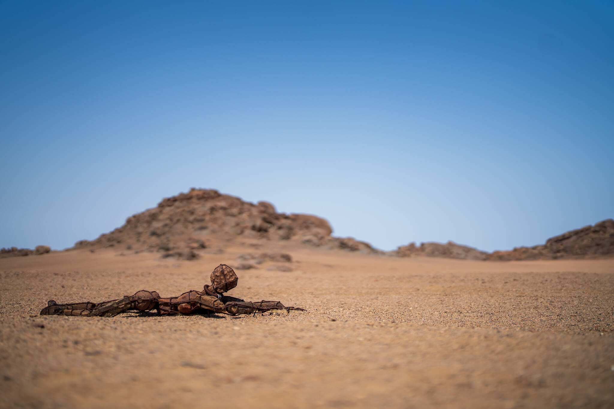
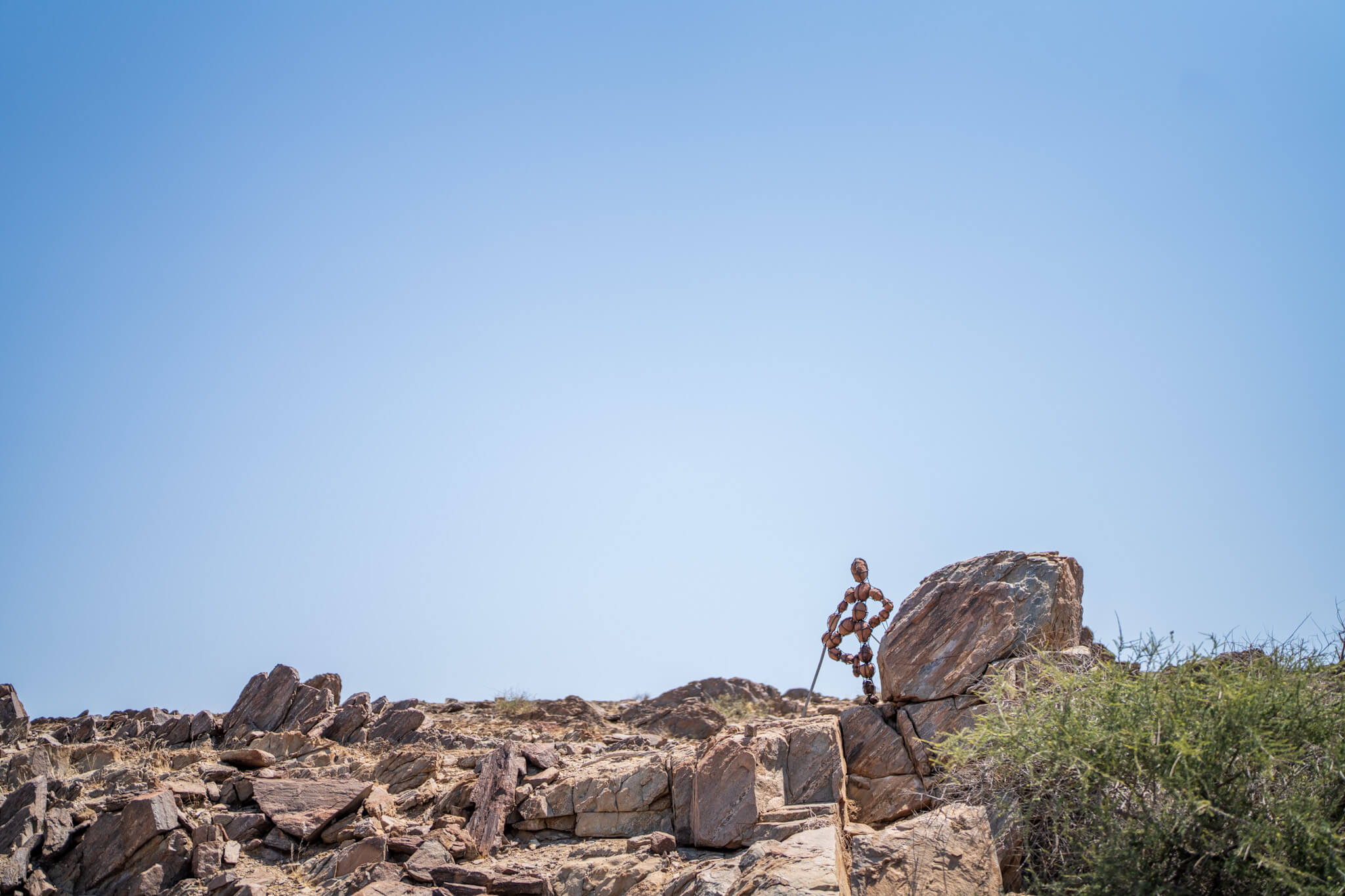
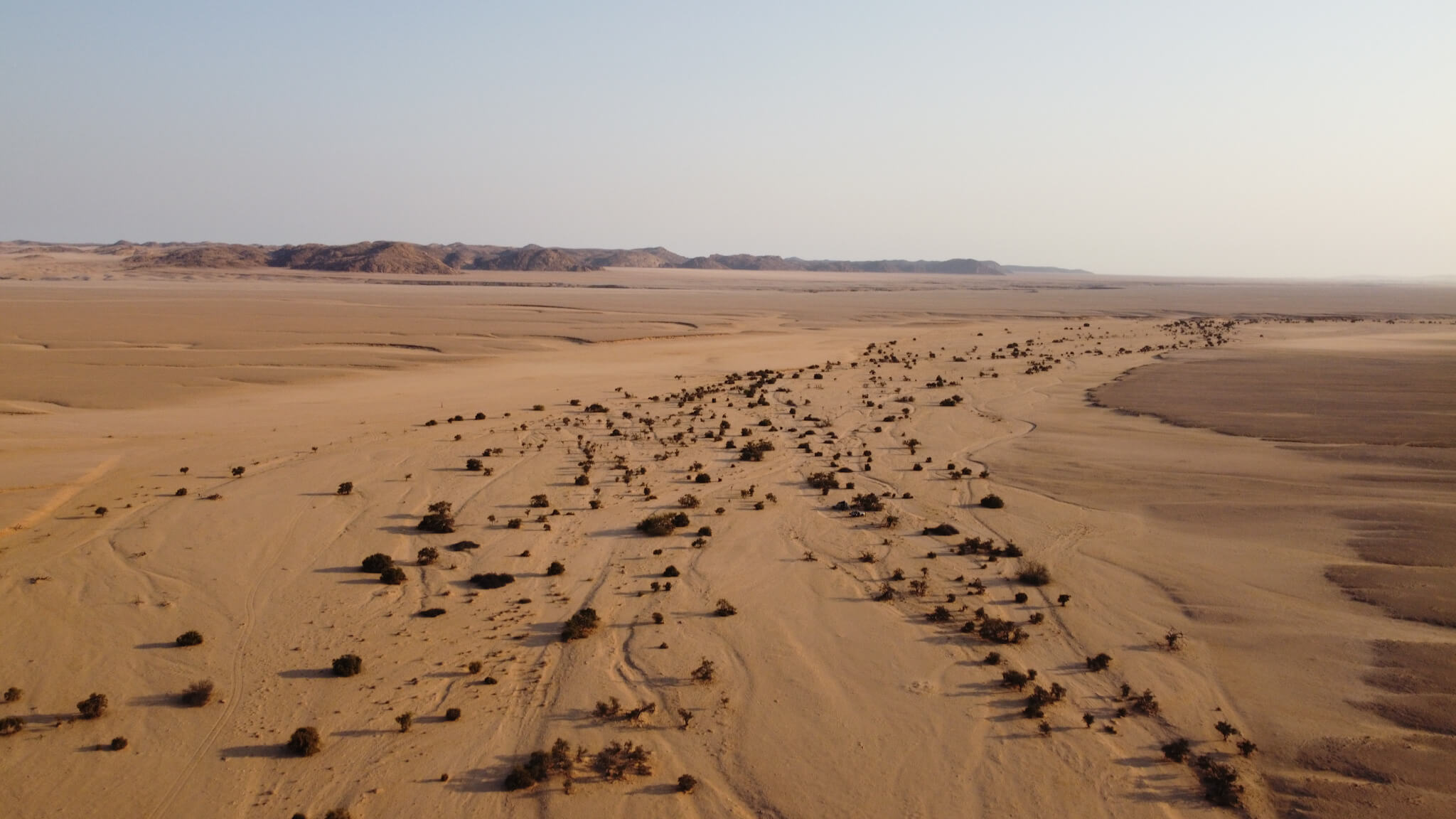
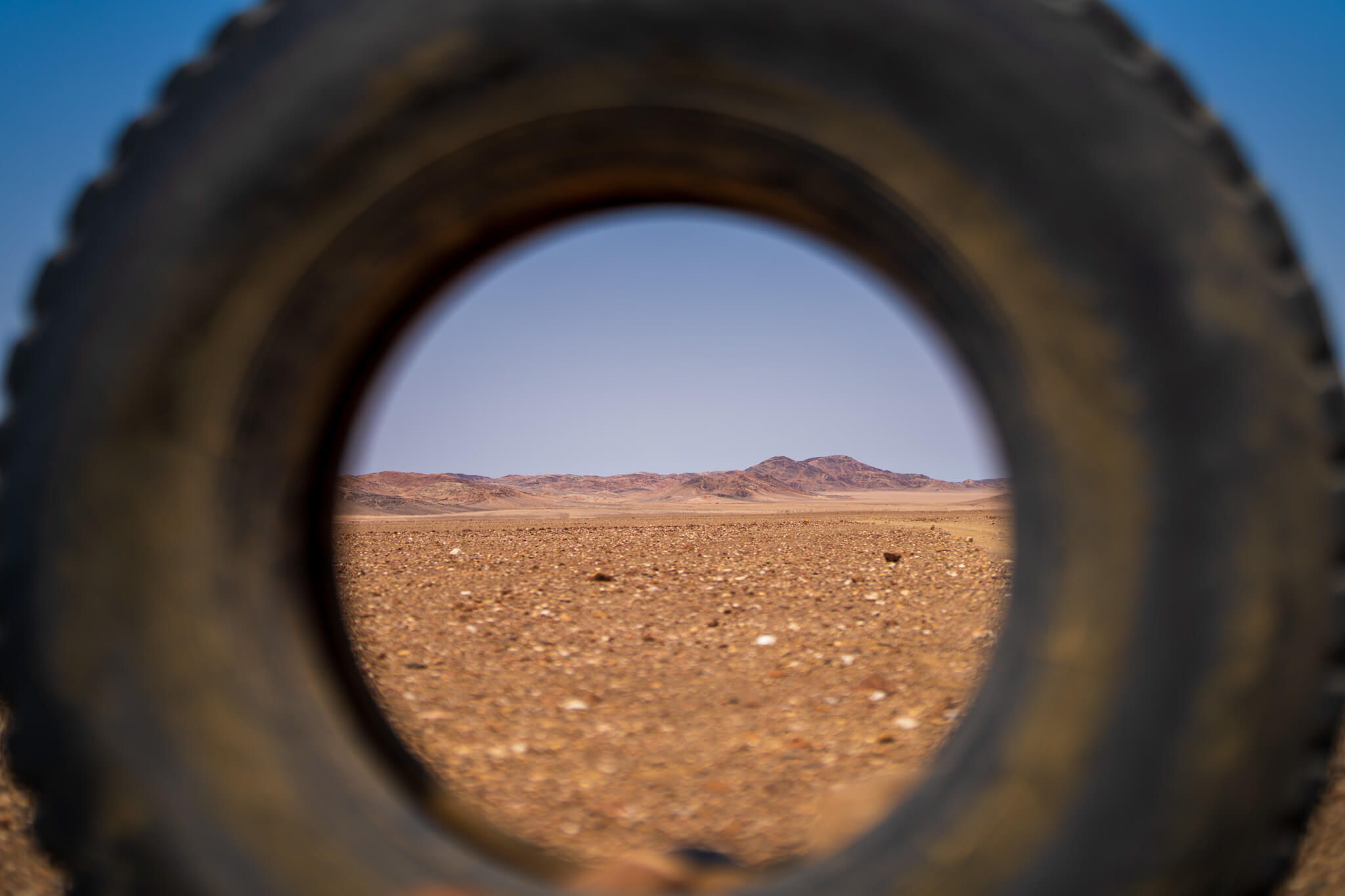
We left the Palmwag concession and with it the staging area of the riverbed. Our plan was to find our way northward close to the border of the Skeleton Coast Park. We followed the appropriate tracks, always checking our path against the maps, and the area again became much more barren. We were in a stone desert, there was no doubt about that. We crossed the Hoarusib once again on the way, and then plunged into a sea of rocky landscapes. In between we discovered now and then some of the Lone Men, an accumulation of cairns, which an artist, often provided with messages, has distributed across the Kaokoland.
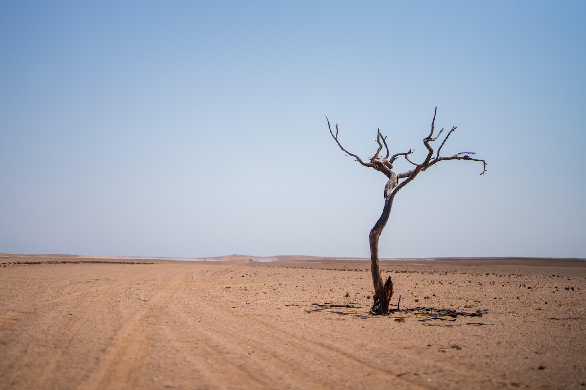
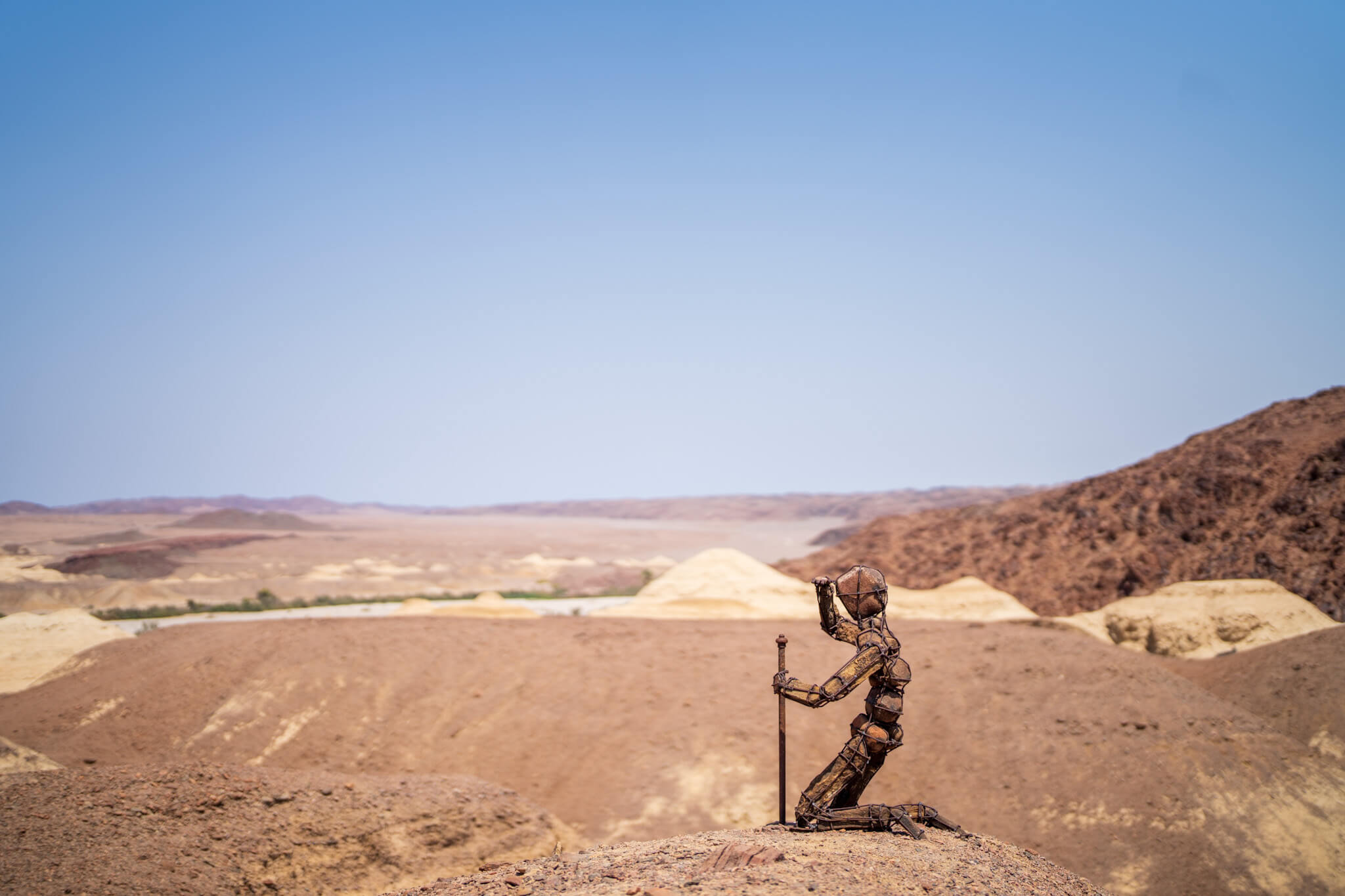
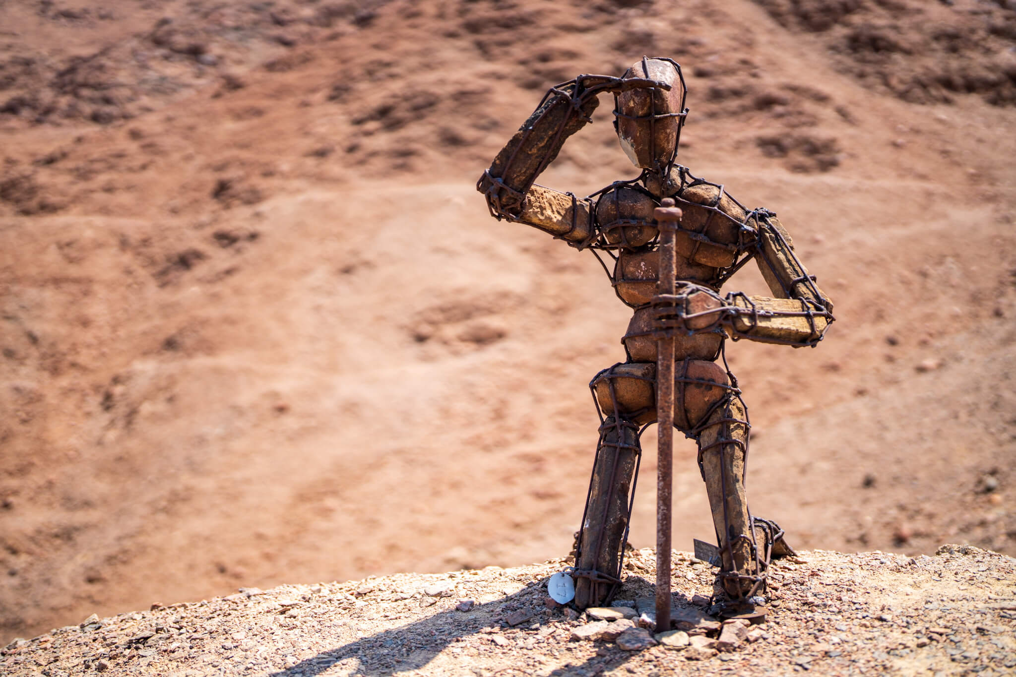
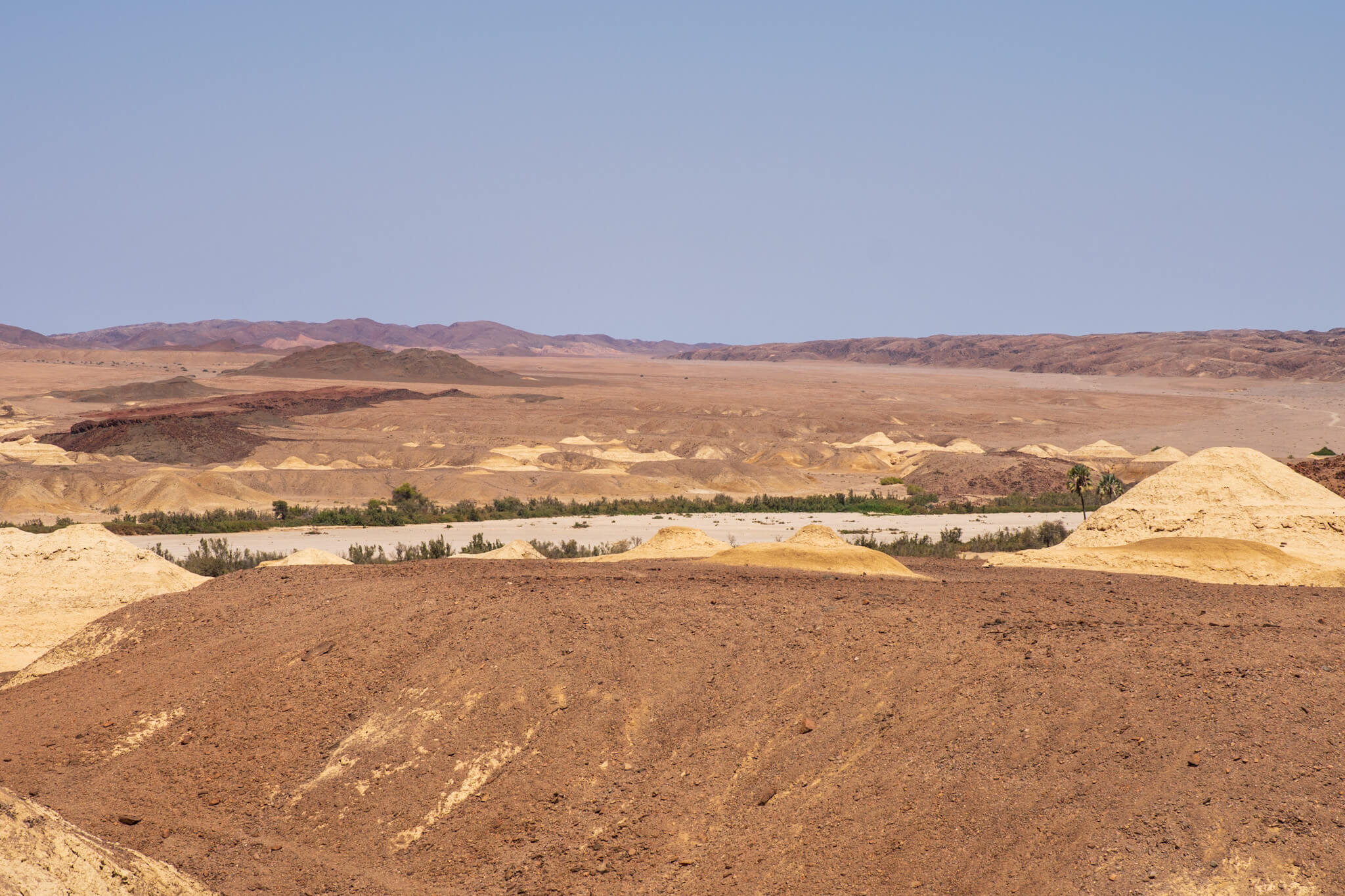
Sun and fog in the stone desert
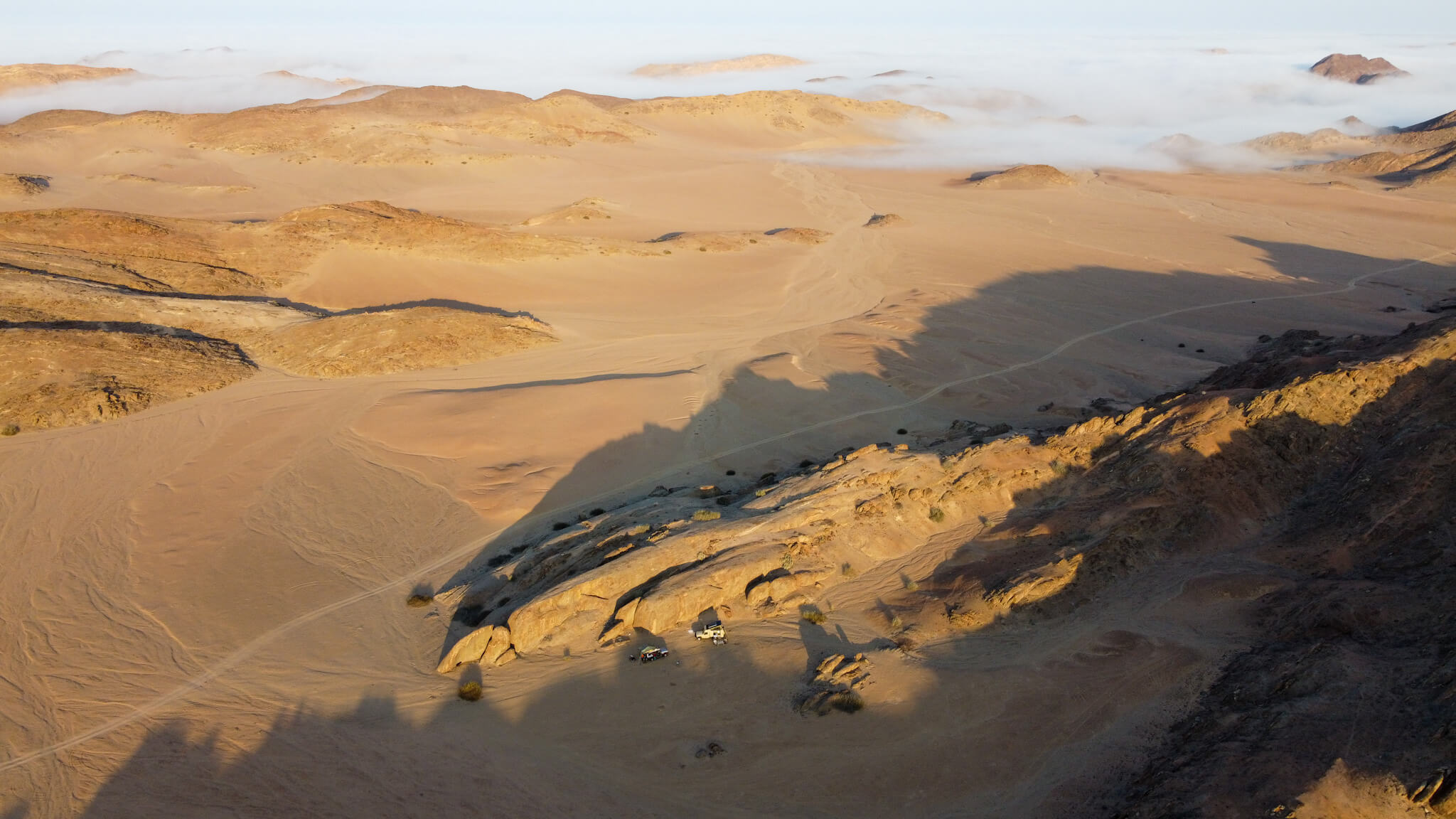
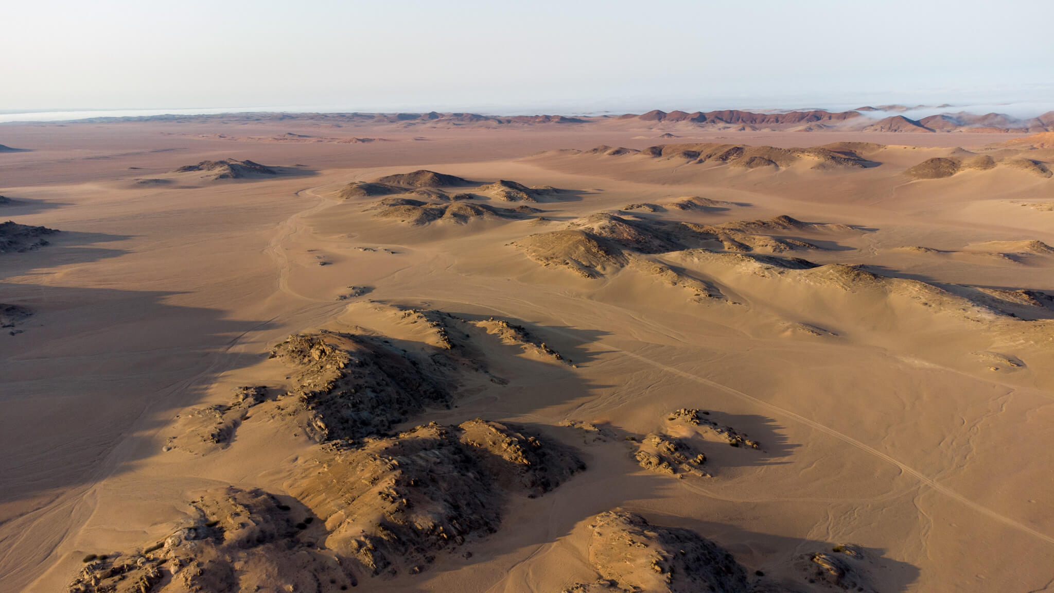
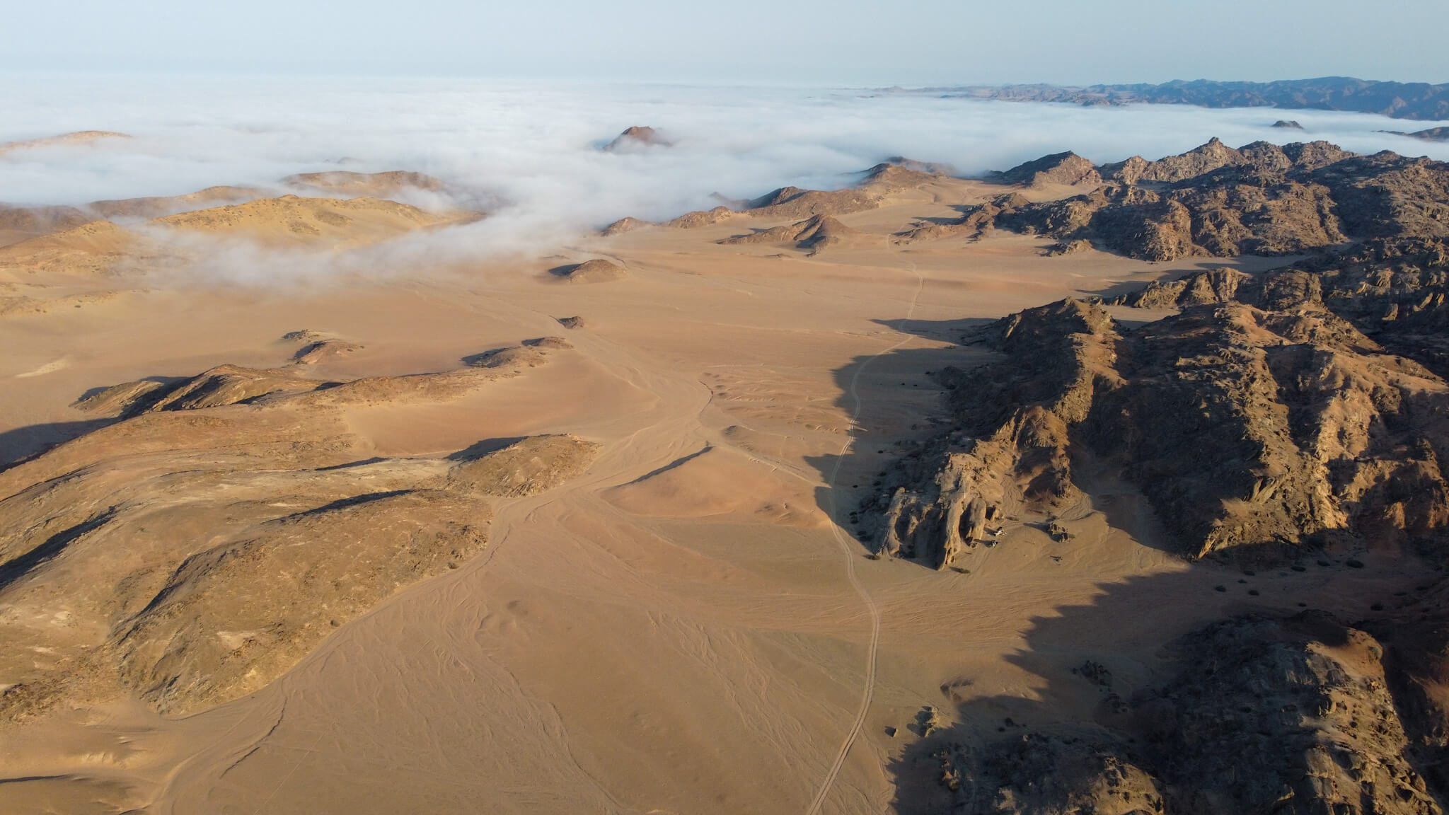
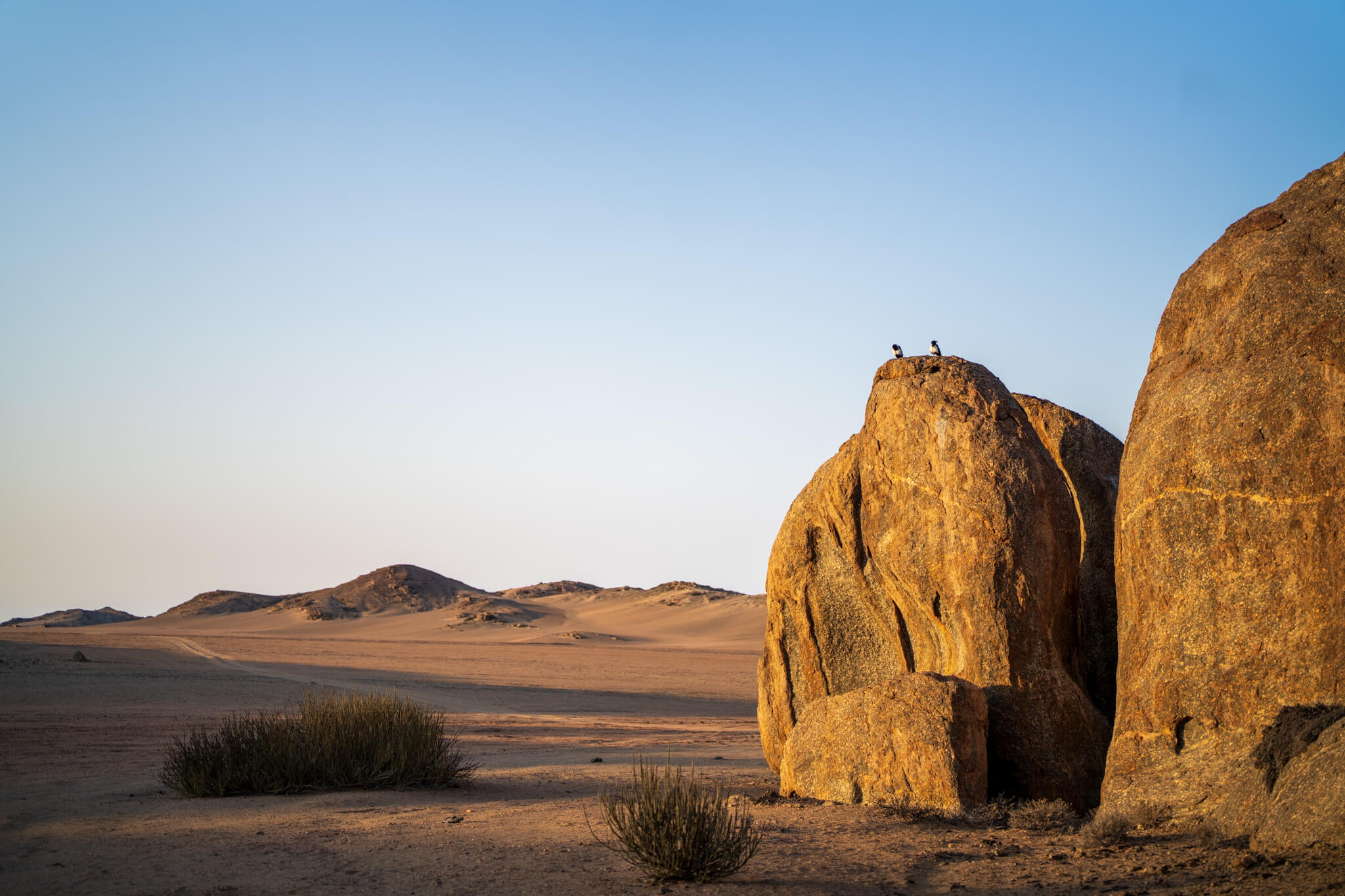
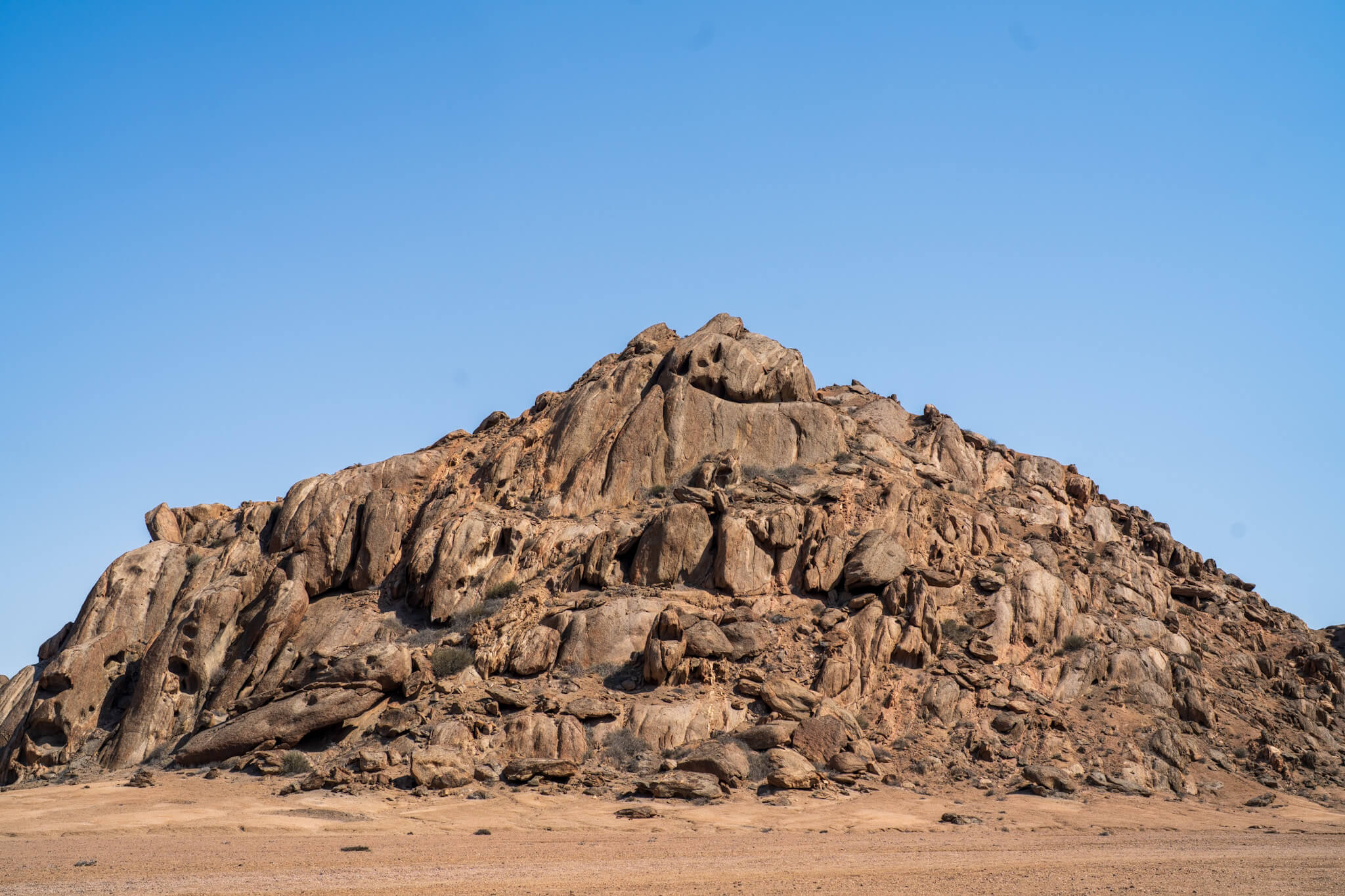
For the next night we chose a cliff that, upon closer inspection, turned out to be a massif. In the morning, a few kilometers away, we discovered the fog making its way from the Atlantic Ocean, while at our place the sun was shining, bathing the rocks in a warm and soft light. As we continued on our way, Sonja discovered a rock massif that seemed to house faces. Fascinating what this region offered.
Green Drum
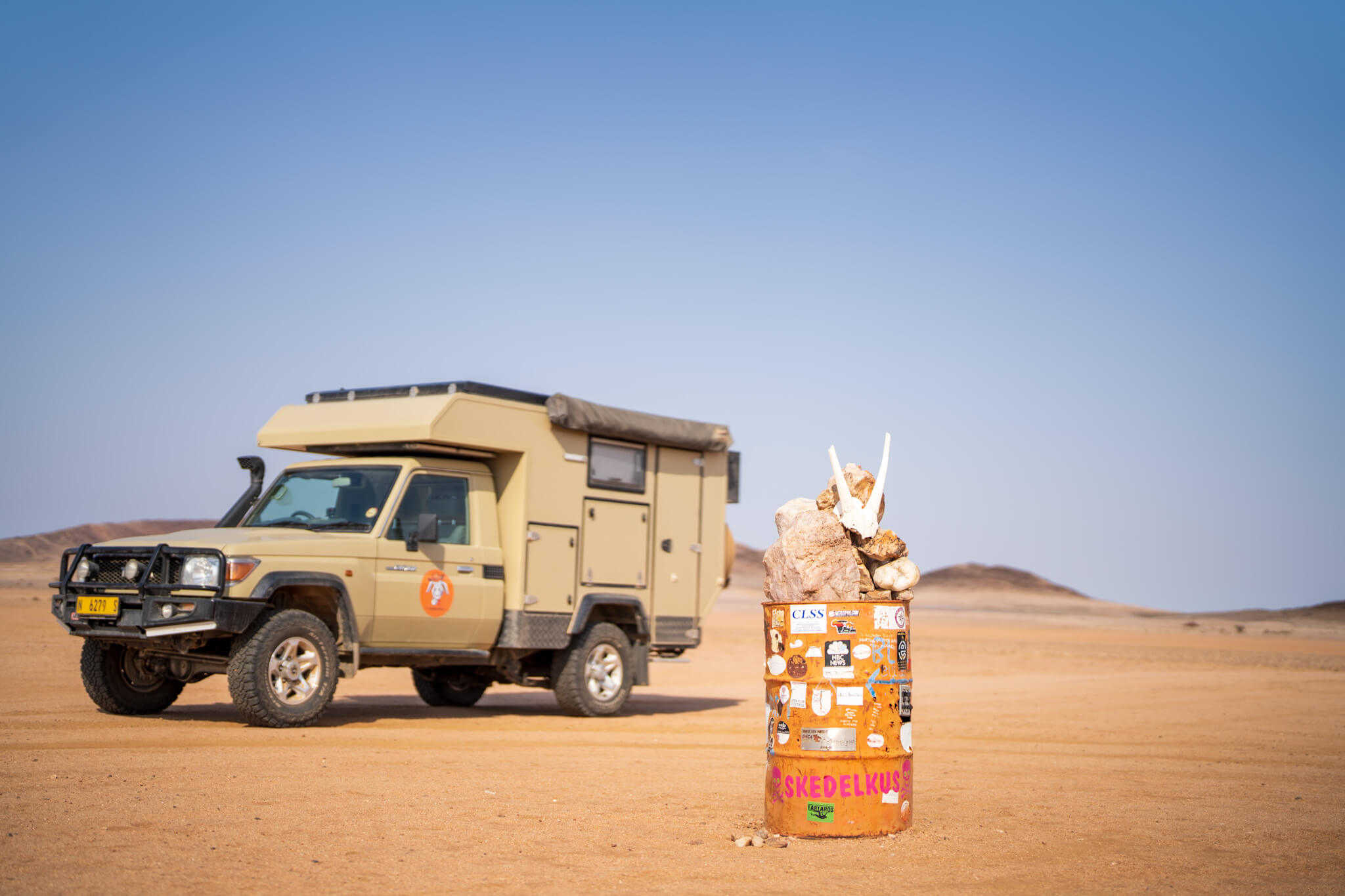
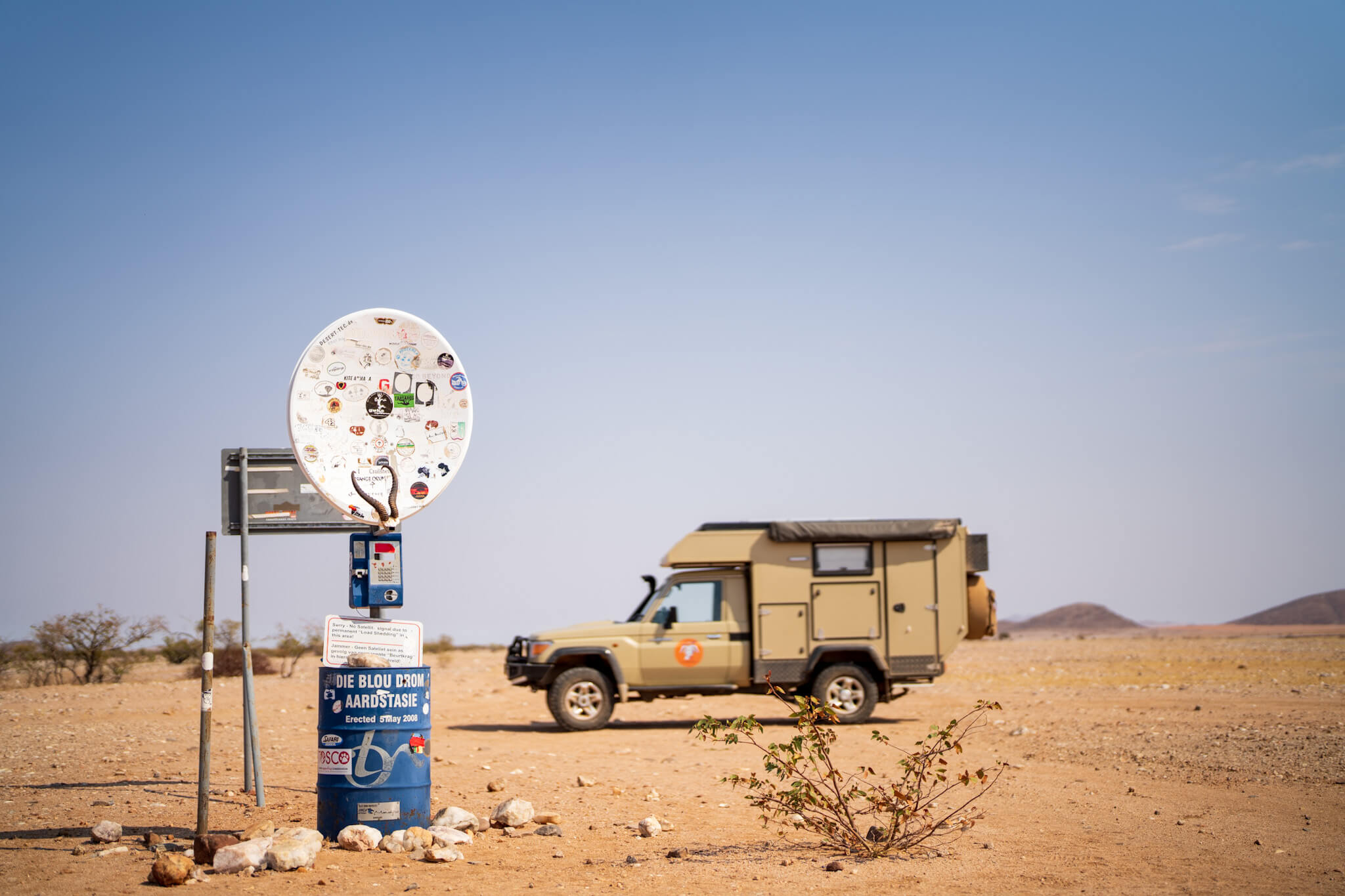
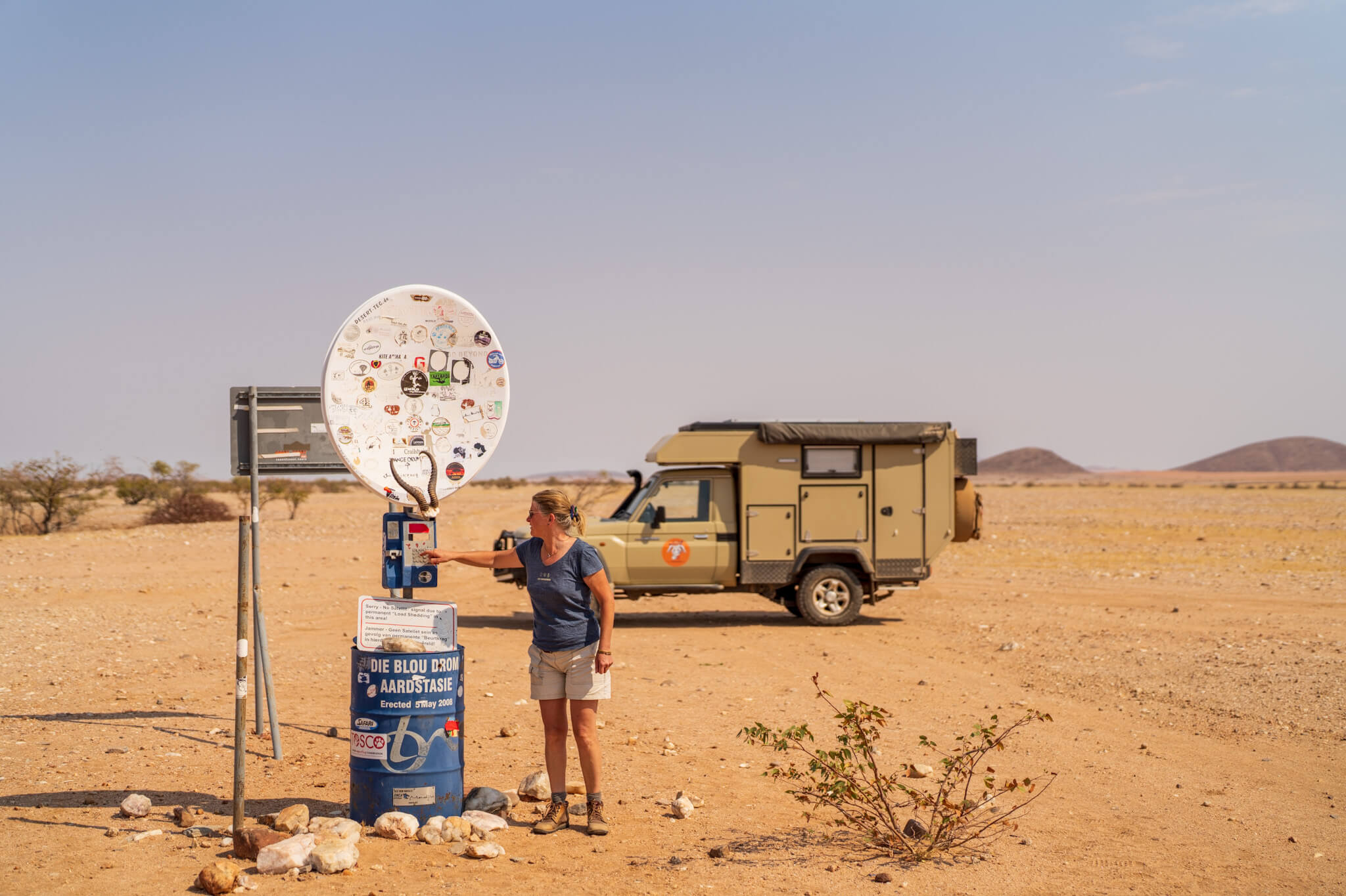
In the north, there are colored drums for orientation purposes for the various side valleys between the mountains. From west to east these are the green drum, orange drum, blue drum and finally in the very east in the Marienfluss valley the red drum. We reached the green drum, paused there and signed the book stored there. If one drives from there further northward, one reaches after approximately 65 km the Kunene as northernmost country border of Namibia. To the east along the way are the Hartmann Mountains. Our original intention was to drive from the green drum to the Kunene, there to drive over a ford into the Hartmanns Valley and through this south to the orange drum.
A decision must be made
As we began to implement our plan, the ground became more and more deep sandy. We could practically watch the tank needles move. None of us had ever been to the neighboring side valley, so we had no idea of the soil conditions there. Our car was very predictable on surfaces without deep sand. However, due to the weight, the deep sand equals 50% more diesel consumption. For Uwe and Geli, the basic consumption was a bit higher than for us, since their car offers permanent four-wheel drive. We had a lengthy discussion and weighed up what to do. In the end, common sense won out and we turned back to the green drum. It was not really satisfying but safety always comes first and we had doubts if the diesel would be enough provided the neighboring valley also consisted of deep sand.
Munutum Valley
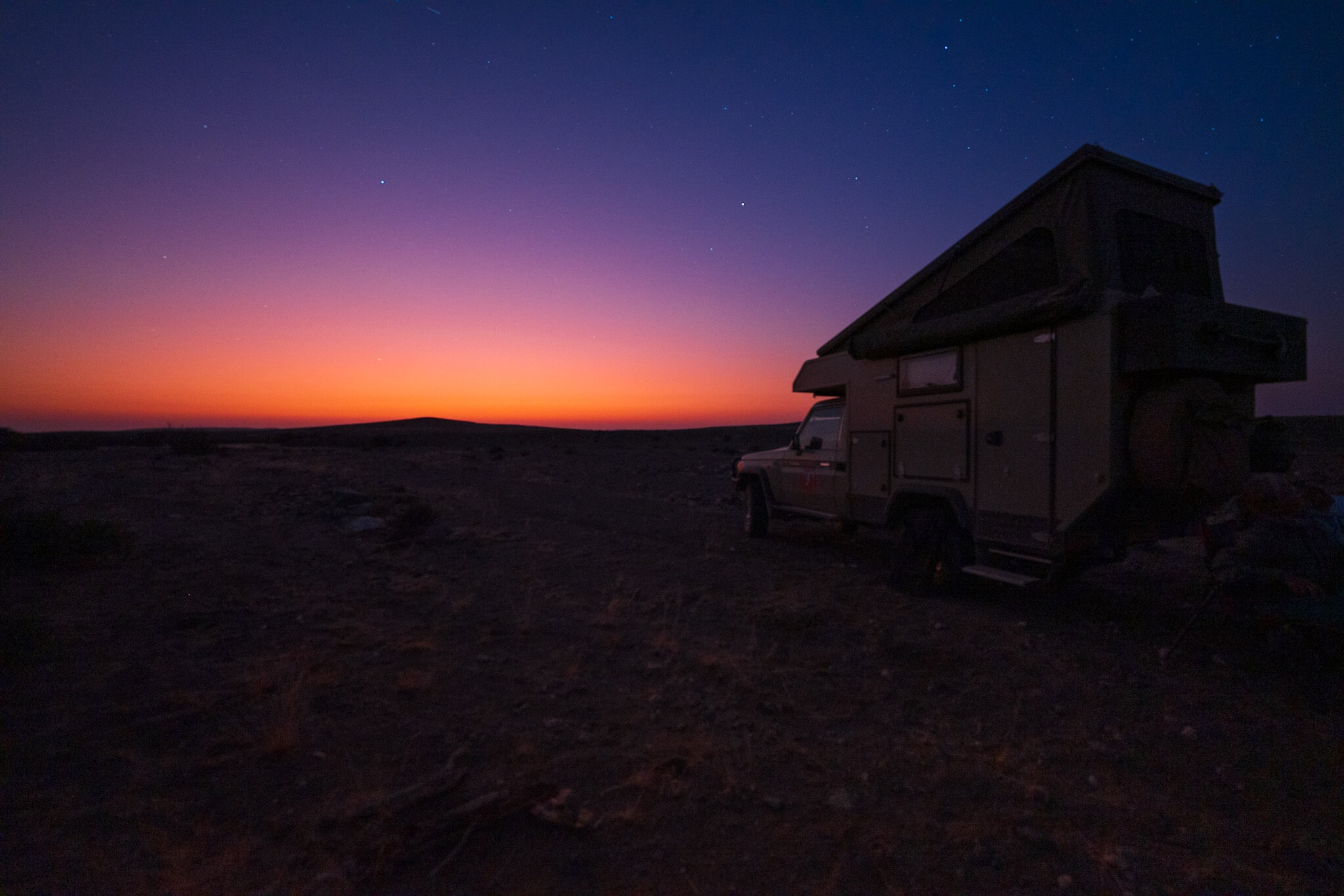
We returned to the green drum and drove from there in the direction of the orange drum. We used a crossing riverbed for a shortcut and decided to camp there for the night.
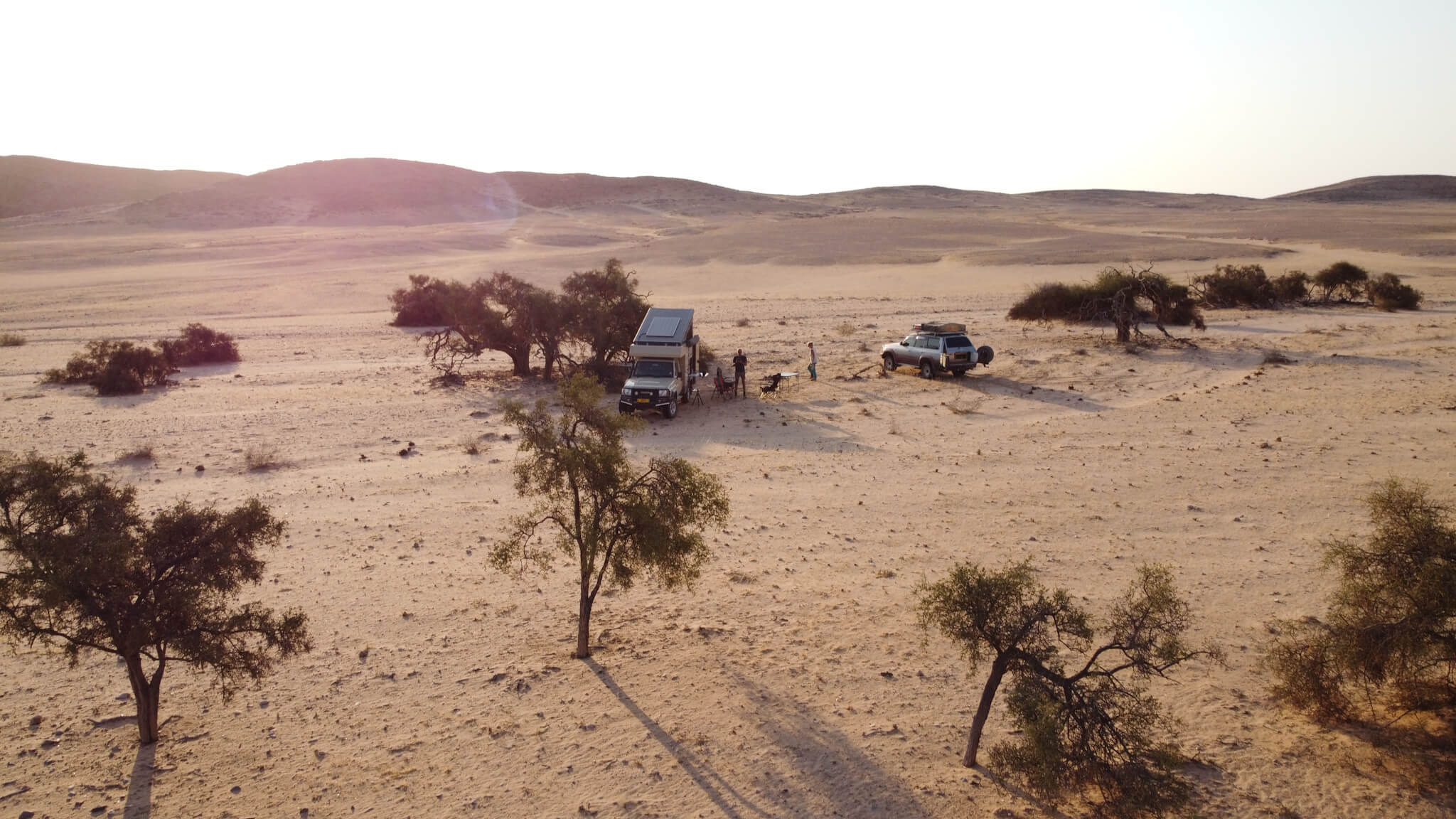
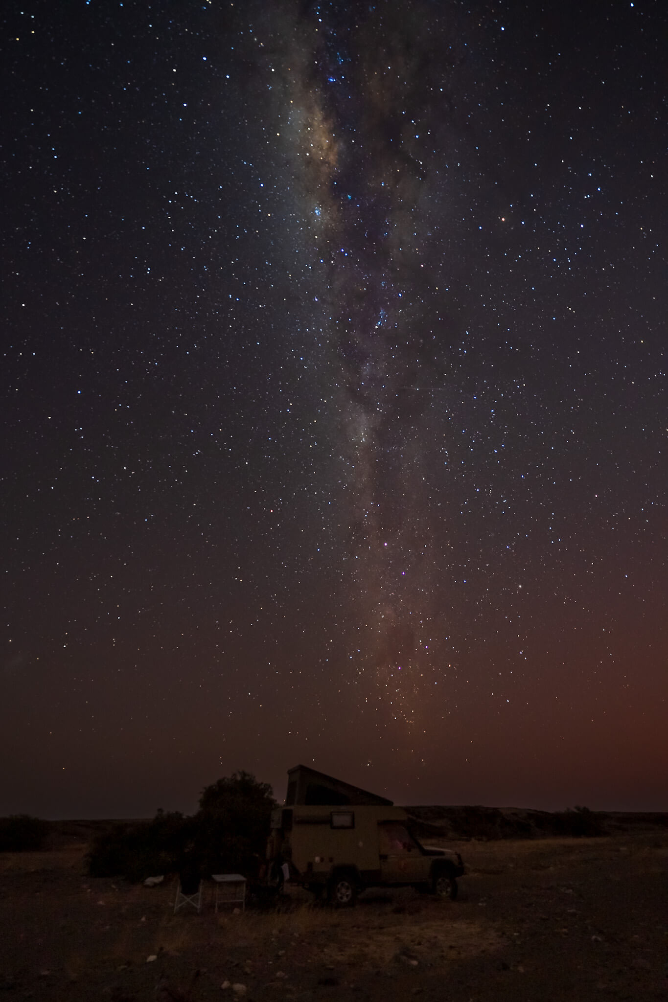
On this evening Guido succeeded in taking the (subjectively) most beautiful/atmospheric milk street photo so far.
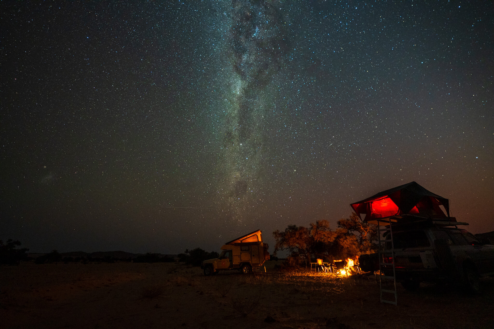
These low-lying stars are simply an incredible sight. Over and over again they inspire us and we feel so sheltered every time we see these wonders without light pollution above us. After a calm and quiet night we reached the orange drum in the morning and out of curiosity drove even further to the blue drum. In 2018 we were already at the red drum and so now we have an impression of all the drums. From the blue drum, the road led us in the direction of Orupembe and thus began the return journey towards civilization.
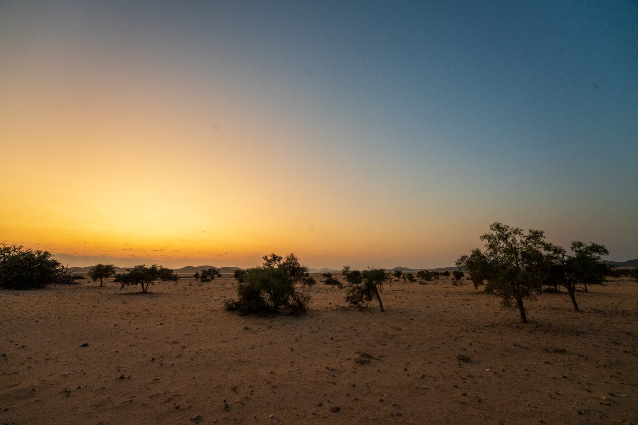
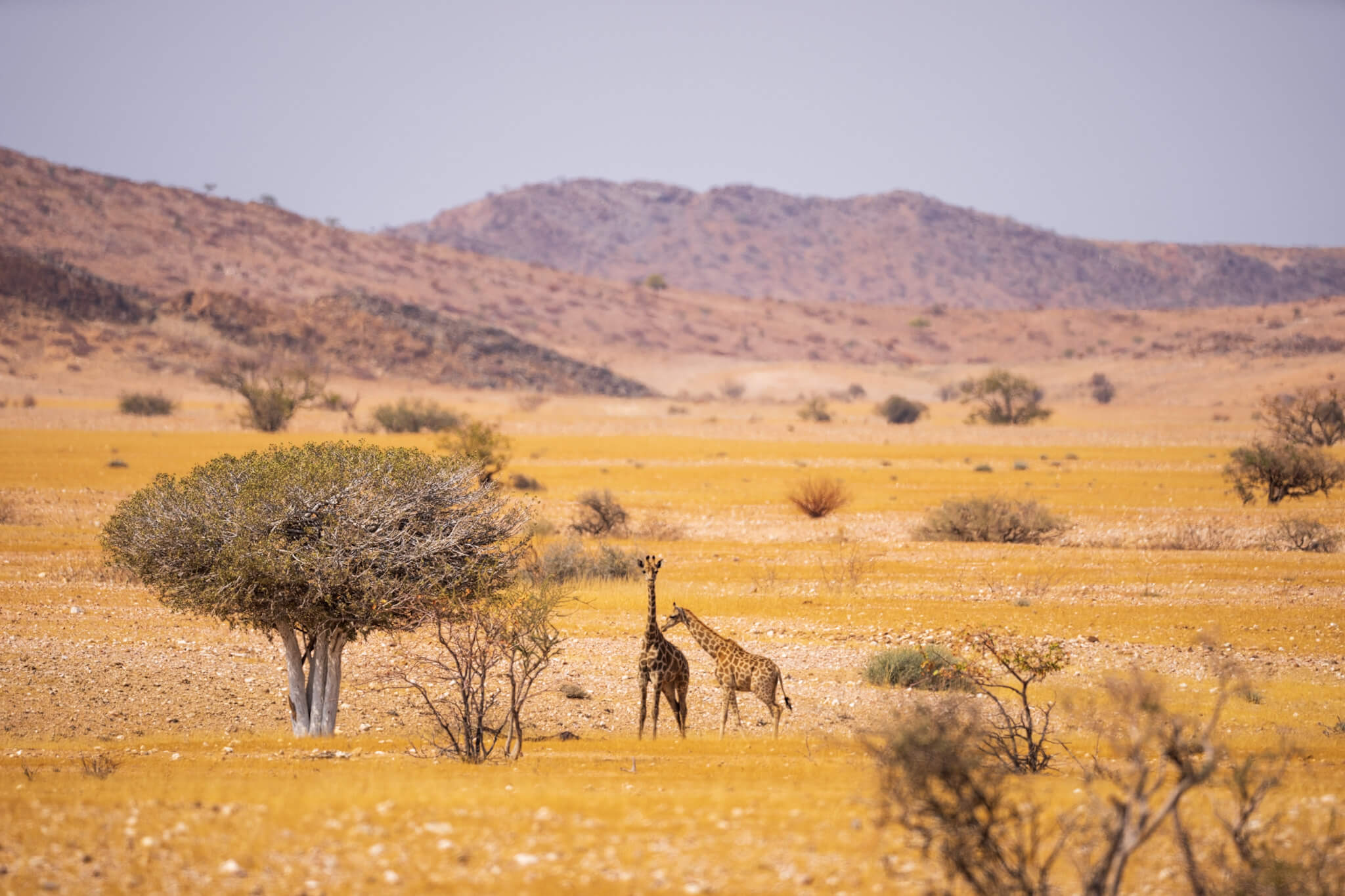
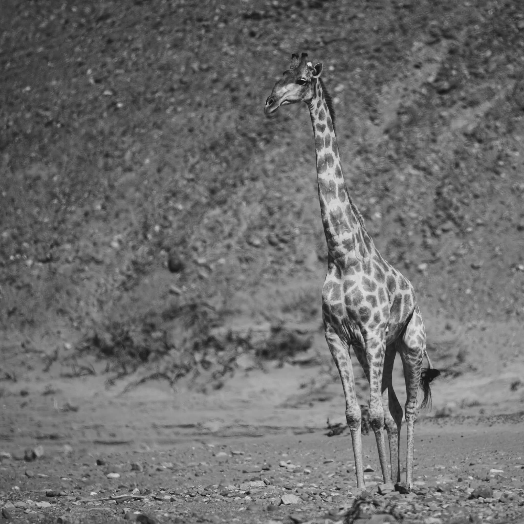
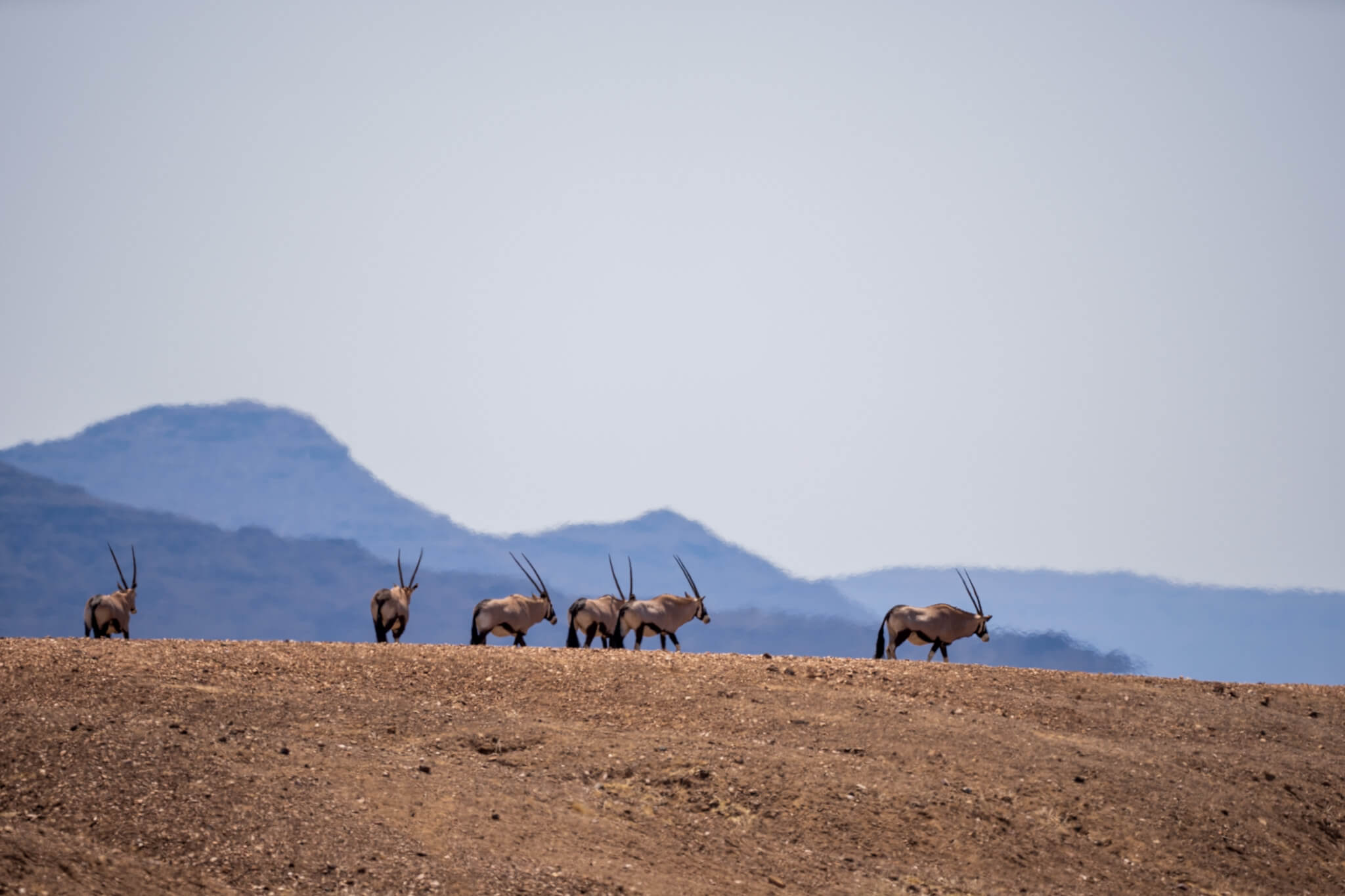
For some unknown reason, Guido loses pictures at least once during our trips to Africa because he formats cards that were not yet backed up. Although he has a routine for this, it happened this time too. Half a day during our visit to the green drum is lost. This includes the most amazing lone men for him, which sits leaning against a tree and asks visitors to give water to the tree. Well, it is what it is and these shots, along with dune pictures with grasses and other situations are gone. Uwe kindly helped us out with his pictures for documentation purposes. If you happen to know how to recover pictures taken with the Sony A7R4 and stored on Sony SD-Tough Cards, we would appreciate a message 😉
